


China establishes world's largest integrated maritime safety network
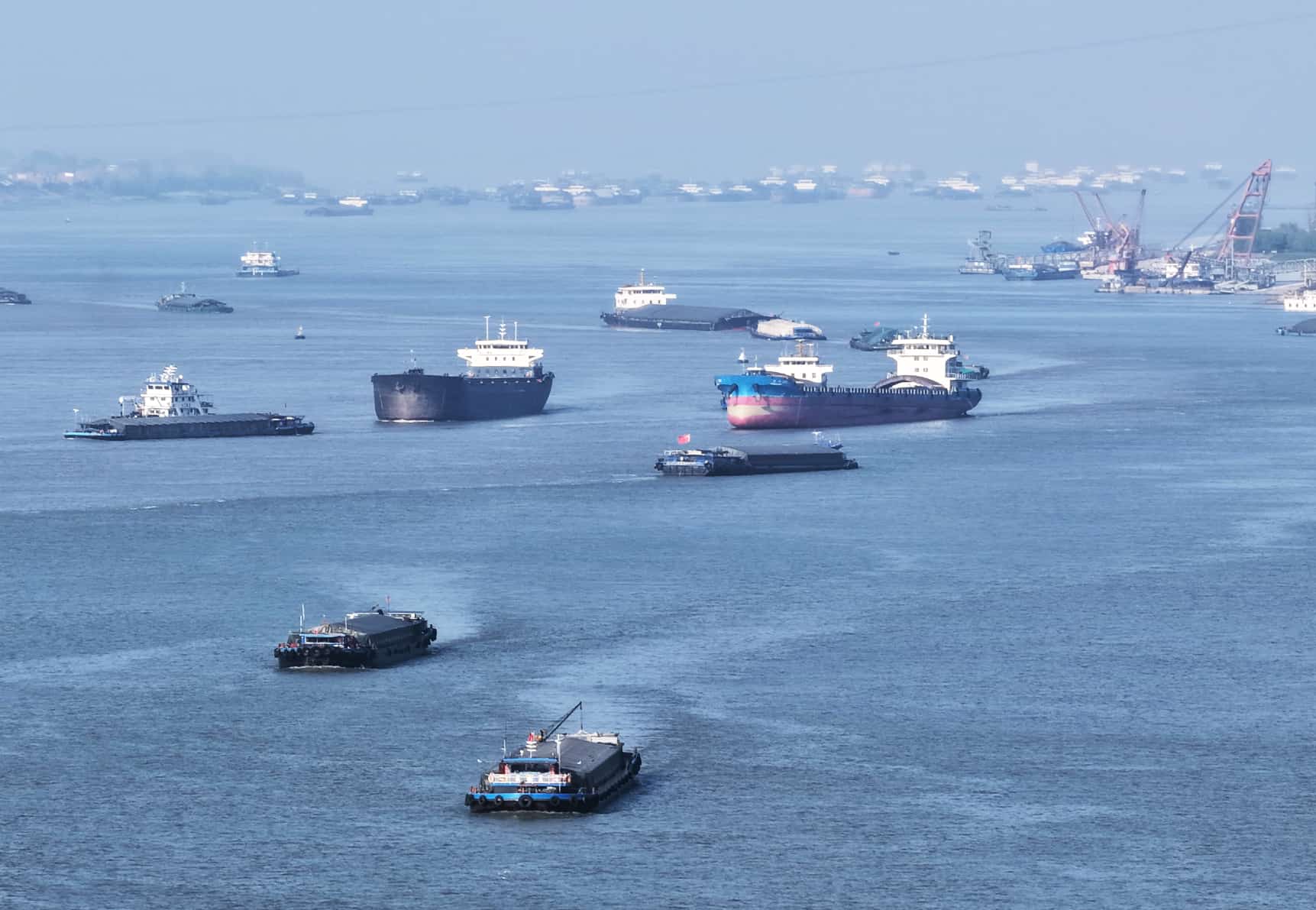
Vessels sail in a waterway in the Yangtze River in Hukou county, Jiujiang, east China's Jiangxi province. (Photo/Zheng Feihua)
China has developed the world's most comprehensive maritime safety and support infrastructure, creating a complete navigational assistance network covering coastal ports and shipping lanes, according to the Ministry of Transport.
In the first quarter of this year, China's coastal and inland ports handled 8.11 million vessel calls and 4.795 billion tons of cargo -- up 6.57 percent and 21.72 percent year on year, respectively.
Behind this busy shipping network lies an equally extensive support system. "Maritime safety and support services provide technical backing for waterborne activities through spatial geographic information, navigation aids, communications, and environmental sensing, explained an official with the Maritime Safety Administration (MSA) under the Ministry of Transport. "This ensures vessel safety, improves shipping efficiency, and supports marine economic development."
Maritime support serves as a "guardian" of navigation safety.
When a vessel collision occurred in the Pearl River estuary on Oct. 25, 2025, the MSA Southern Navigation Service Center promptly activated its emergency response mechanism and carried out efficient handling measures.
The Guangzhou Coast Radio Station issued navigational warnings in both Chinese and English; survey vessels located the sunken wreckage and surveyed temporary navigable channels; buoy vessels deployed emergency navigation marks in a timely manner, safeguarding smooth and orderly maritime traffic.
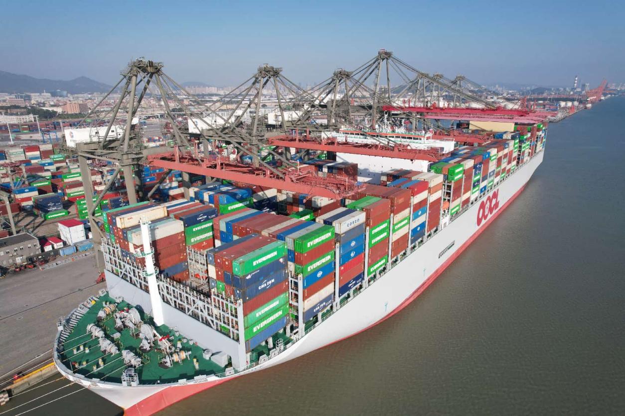
Cargo on an ocean-going vessel is handled in Xiamen, southeast China's Fujian province. (Photo/Zeng Demeng)
Such rapid response is made possible by an efficient system that integrates navigation aids, hydrographic surveying, and communications.
In the South China Sea, all navigation aids in the Sansha waters have been equipped with the BeiDou navigation satellite system for remote monitoring and control, helping ensure the safe passage of more than 100,000 vessels annually.
In the East China Sea, China's first electronic nautical chart dedicated to fisheries was put into operation late last year, integrating key information such as high-risk zones for collisions between commercial and fishing vessels and major north-south coastal shipping routes, thereby enhancing safety in marine fishing operations.
A maritime support network spanning sea, land, and air now operates around the clock, quietly safeguarding waterways and vessels. In 2025, the maritime system ensured the safe entry and exit of over 34.64 million vessels, while waterborne transport accidents fell by 36.7 percent year on year.
Data is another cornerstone. China now conducts approximately 23,000 square kilometers (in converted units) of hydrographic surveying annually, and more than 5 million electronic charts are issued each year, providing high-precision foundational data for port planning, channel expansion, and improving navigational efficiency.
By the end of March this year, China managed 24,600 coastal navigation aids, an increase of 65 percent from a decade ago. Annual public-service communications exceed 2.2 million instances, with over 1 million safety messages broadcast each year, forming a unified communication network that connects ports and vessels worldwide.
How has such a vast, multi-dimensional system been built? The answer lies in sustained technological innovation.
"As a technology-intensive sector, maritime support integrates a range of cutting-edge technologies, including artificial intelligence, big data, and satellite positioning and navigation," said Li Shigang, director of the Donghai Navigation Safety Administration under the Ministry of Transport. He noted that the shipping industry is accelerating its transition toward greater intelligence and greener development.
In March 2024, the MSA launched an integrated map platform. It consolidates marine charts, river charts and terrestrial geographic data onto one unified system and terminal, breaking long-standing data silos that separated maritime and land-based navigation services.
This innovation eliminates previous data barriers that prevented users from accessing multiple types of chart services simultaneously. The platform has so far provided spatiotemporal data services to more than 50,000 vessels and over 20 ports, with annual service calls reaching into the tens of billions. It has supported projects such as offshore wind power development and subsea oil pipelines.
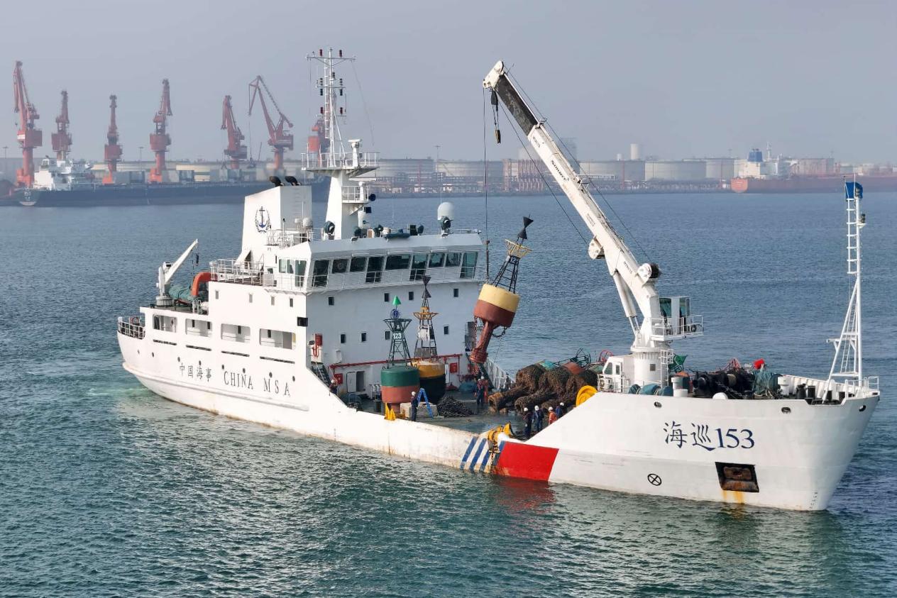
A buoy tender carries out buoy replacement operations in the main channel of Longkou Port, east China's Shandong province, Nov. 15, 2025. (Photo/Tang Ke)
Infrastructure upgrades have also played a key role.
In the Bohai Sea, the MSA Northern Navigation Service Center has partnered with offshore oil companies and telecom operators to build multi-mode 5G base stations using offshore oil platforms. As a result, the Liaoning-Shandong shipping route, which carries millions of passengers annually, has eliminated communication blackouts during its roughly seven-hour voyage. Full coverage of communications and sensing across the Bohai Sea is expected by the end of this year.
In the South China Sea, the MSA has established the largest drone fleet within China's maritime system. It has developed an "drone-plus" operational model for inspecting navigation facilities, collecting survey data, and responding to emergencies, enabling routine three-dimensional maritime support.
From traditional lighthouses and automatic identification systems to communication stations and the integrated map platform, continued investment in infrastructure is pushing China's maritime capabilities from "near-shore visibility" to "full-domain manageability."
Challenges remain. China's maritime support system still faces gaps in advanced equipment, limited capabilities in distant and deep-sea areas, and insufficient sensing capacity in key waters.
"As China's maritime activities expand from near-shore and coastal areas to distant oceans and even polar regions, maritime support services must extend their reach accordingly," Li said. "We need to broaden both geographic and functional coverage, strengthen capabilities in deep-sea areas, and better safeguard the stability of international logistics supply chains."
Looking ahead, efforts will focus on advancing the application of satellite internet at sea and enhancing communication and regulatory capabilities in key maritime zones, islands, and major straits, he added.
Photos


Related Stories
- Ningbo-Zhoushan Port in east China's Zhejiang records rising container throughput
- Taicang Port: a bustling hub of river-sea transport
- Foreign trade cargo throughput in Tangshan Port posts year-on-year growth
- New landscape of opening up reflected in world's first port to handle 1.4 billion tons
- Cargo throughput at Huanghua Port reaches 366 million tonnes in 2025
- Cargo throughput at Tangshan Port up 2.53 percent year on year
- Intelligent robots reshape operations at Qingdao Port in E China's Shandong
- China's trade corridor sees surge in cargo volume in 2025
- China's landmark trade corridor cargo volume hits record high in 2025
- Ningbo-Zhoushan Port sees cargo throughput surpassing 1.4 billion tonnes in 2025
Copyright © 2026 People's Daily Online. All Rights Reserved.
