Heading towards the snow mountains: Exploring the source of the Heihe River in NW China
In winter, in Qilian county, Haibei Tibetan Autonomous Prefecture, northwest China's Qinghai Province, the Heihe River flows through the Huangzangsi Reservoir, where clear waters ripple gently. The banks are lined with striking red Danxia land formations, and herds of cattle and sheep roam, filling the landscape with vibrant colors and lively scenes.
Originating from the Bayi Glacier in the Qilian Mountains, the Heihe River, historically known as Ruoshui, is China's second-largest inland river and is often called the "Mother River" of the Hexi Corridor. The Qilian Mountains, a key ecological zone supporting glaciers and water sources, serve as a crucial link between the Tibetan Plateau and the Loess Plateau, forming an essential ecological barrier that nurtures nearly 1,000 rivers, including the Heihe, Shule, and Shiyang rivers.
From the Huangzangsi Reservoir upstream to the source at Bayi Glacier, Qilian county has continuously improved the use of technology and management practices to safeguard the headwaters and tributaries of the Heihe River. Efforts to protect and restore the Heihe wetlands have enhanced water quality at the river's source, allowing it to better fulfill its ecological role.
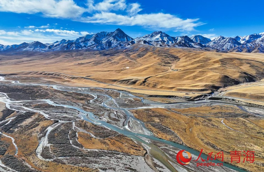
This photo shows the Heihe River flowing beneath the Qilian Mountains. (People's Daily/He Yong)
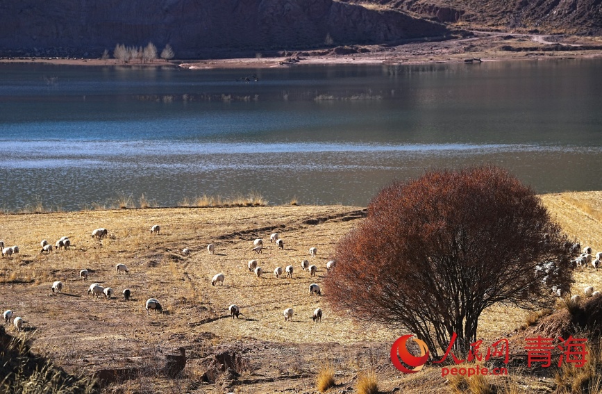
This photo displays the Huangzangsi Reservoir on the Heihe River. (People's Daily Online/Gan Haiqiong)
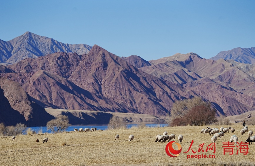
This photo captures the banks of the Huangzangsi Reservoir on the Heihe River. (People's Daily Online/Gan Haiqiong)
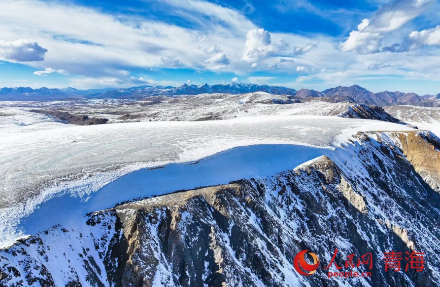
This photo shows the massive ice cap of the Bayi Glacier, the source of the Heihe River. (People's Daily/He Yong)
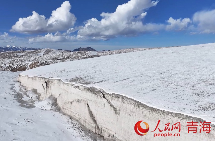
This photo displays the Bayi Glacier. (People's Daily/He Yong)
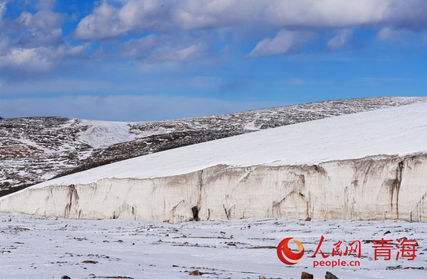
This photo shows the Bayi Glacier. (People's Daily Online/Gan Haiqiong)
Intern Han Yifan contributed to this story.
(Web editor: Zhong Wenxing, Liang Jun)


