A new round of measurement on the height of Mount Qomolangma was recently initiated, 60 years after human being reached the summit of the world’s highest mountain via its north ridge, and 45 years after China accurately measured and announced the height of the peak for the first time.
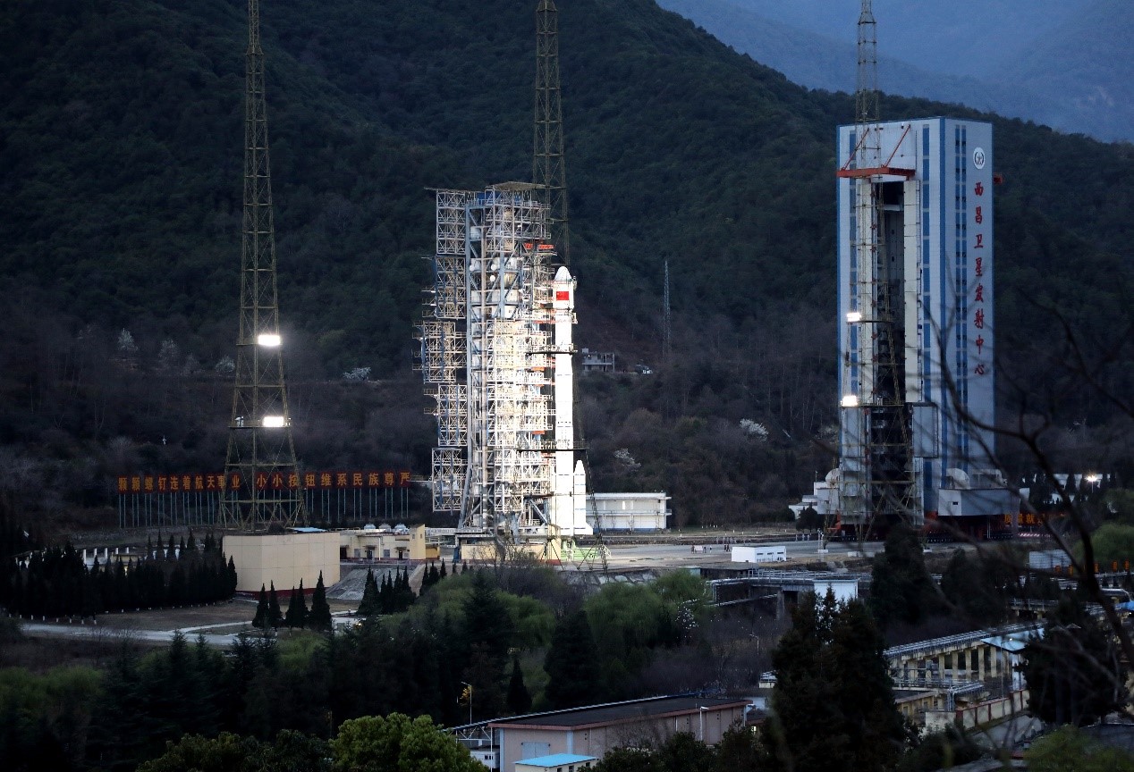
The 54th Beidou satellite is launched from the Xichang Satellite Launch Center in southwest China's Sichuan Province, March 9, 2020. Photo by Li Jieyi / People’s Daily Online
China’s independently developed and operated BeiDou Navigation Satellite System (BDS) is applied to the elevation survey for the first time. Now, the Chinese surveyors are about to reach the summit soon.
The height measurement of Mount Qomolangma is an international race regarding surveying technologies. In the arduous efforts to explore the altitude of the world’s highest mountain, technologies have always offered strong support. The surveying and communication technologies acted as “teammates”, making the measurement more accurate and smoother.
Li Guopeng, captain of the surveying team, introduced that the Global Navigation Satellite System (GNSS) is an important part of the survey.
"In 2005, GNSS satellite measurement mainly relied on the Global Positioning System (GPS) of the United States. But this year, we will refer to four major global navigation satellite systems: the GPS, Europe's Galileo, Russia's GLONASS and China's BDS. And we will take BDS data as our main reference," Li said.
The GNSS receivers, relying on the BDS and GNSS monitors in and outside the Qomolangma region, will observe simultaneously on the summit. They are also able to monitor the crustal movement in relevant regions.
As one of the four major satellite navigation systems in the world, the BDS is an important spatial infrastructure of China that is able to offer high-accuracy positioning, navigation and time services for global users. As of the end of 2018, a basic system of orbiting BeiDou-3 satellites had been in place and started global service. 2020 marks the final year for the building of Beidou constellations, and the 54th Beidou navigation satellite just entered its orbit in March.
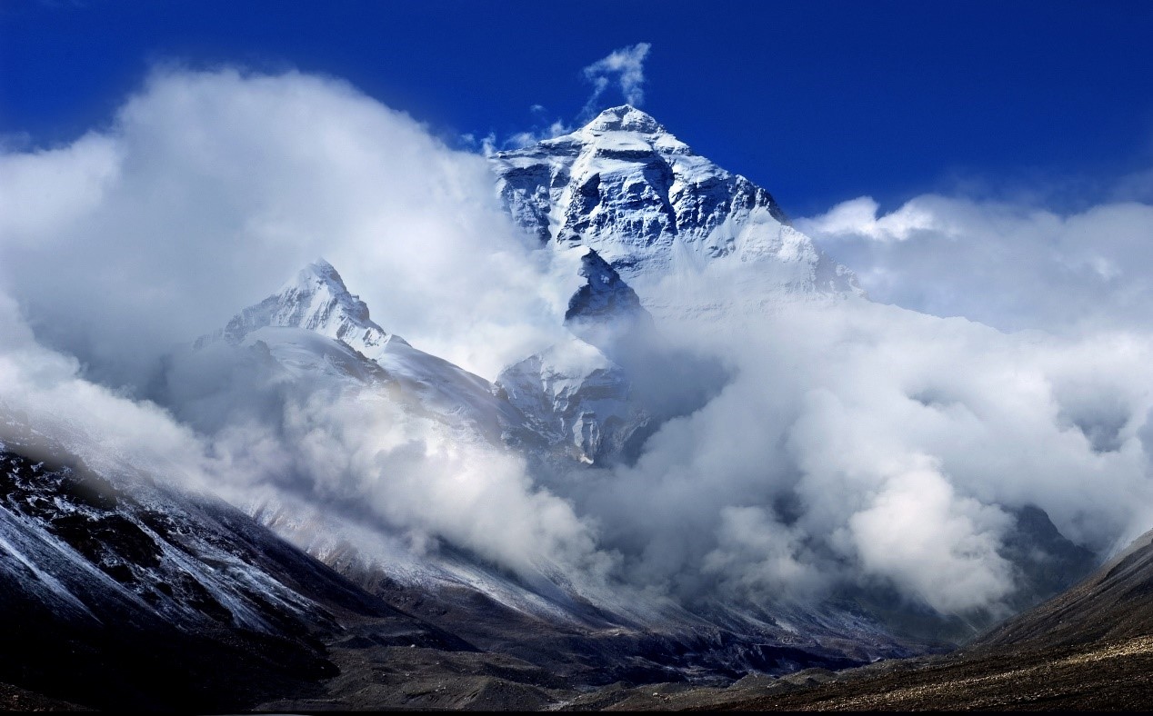
The photo taken in Tingri county, southwest China’s Tibet Autonomous Region shows the stunning scenery of the Mount Qomolangma. Photo by Yu Junmin / People’s Daily Online
The BDS also offered vital assistance to China’s effort to contain the COVID-19 pandemic. Its accurate surveying largely facilitated the construction of makeshift hospitals Huoshenshan and Leishenshan, and its positioning and time services also made possible the tracing and dynamic management of people, cases and other subjects.
The height measurement of Mount Qomolangma calls for comprehensive application of multiple technical means, and both traditional and modern surveying and mapping technologies apart from the GNSS will be used. The final height to be published is also a result of comprehensive data processing.
It’s noteworthy that airborne gravity technology will be applied to the survey this time to improve accuracy. It is the first time for China to conduct airborne gravity and remote sensing survey in the region, which is expected to fill relevant data gaps.
Besides, the airborne method is also able to achieve extensive and precise three-dimensional topographic data of Mount Qomolangma and surrounding areas, which is like taking a million-pixel panorama picture of the mountain.
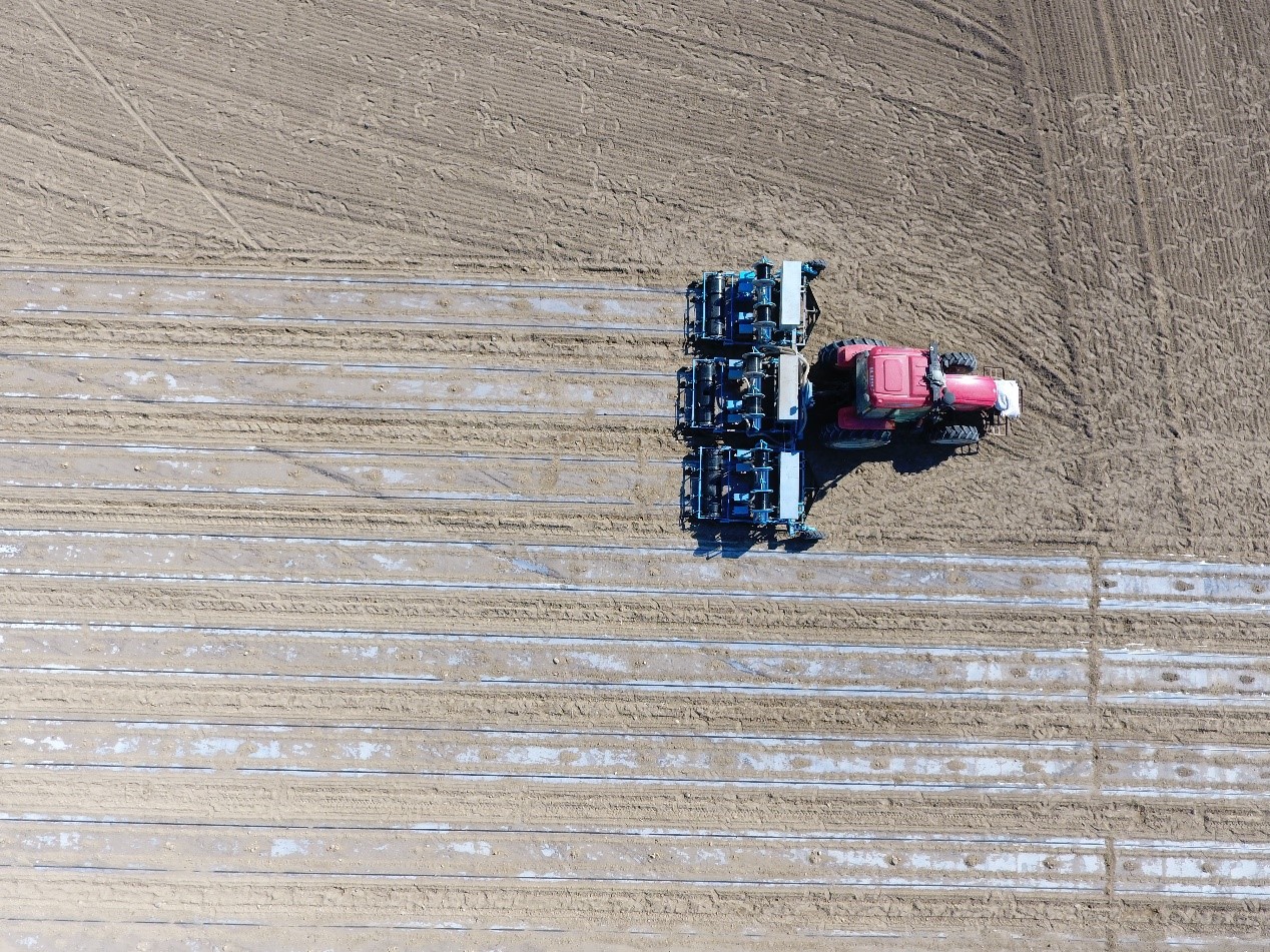
An autopilot tractor works in the field navigated by the BeiDou Navigation Satellite System in Beitun, northwest China’s Xinjiang Uygur Autonomous Region. Photo by Li Haiting / People’s Daily Online
The extreme environment of the measurement mission has raised a very high requirement on the technologies of equipment, and many devices must be specially modified. For instance, the equipment working on the summit must be operational in low temperature, pressure and oxygen content. Therefore, many surveying devices were customized this time by Chinese equipment developers.
The “snow radar” is one customized by a Chinese enterprise. It measures the snow thickness and rock height on the summit of Mount Qomolangma. Different from traditional geological radar, it is able to work in low temperature, with low energy consumption and in extremely severe environment. The remeasurement of Mount Qomolangma this time raised higher technical standard on “snow radar” – the device must be light and portable, and able to acquire both locations and snow thicknesses.
Besides, the latest achievements of China’s survey system construction will also be applied to the remeasurement mission of Mount Qomolangma. Li noted that China’s surveying technologies are world-class, and they are confident to achieve a success.

 Award-winning photos show poverty reduction achievements in NE China's Jilin province
 People dance to greet advent of New Year in Ameiqituo Town, Guizhou
 Fire brigade in Shanghai holds group wedding
 Tourists enjoy ice sculptures in Datan Town, north China
 Sunset scenery of Dayan Pagoda in Xi'an
 Tourists have fun at scenic spot in Nanlong Town, NW China
 Harbin attracts tourists by making best use of ice in winter
 In pics: FIS Alpine Ski Women's World Cup Slalom
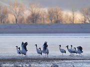 Black-necked cranes rest at reservoir in Lhunzhub County, Lhasa
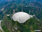 China's FAST telescope will be available to foreign scientists in April