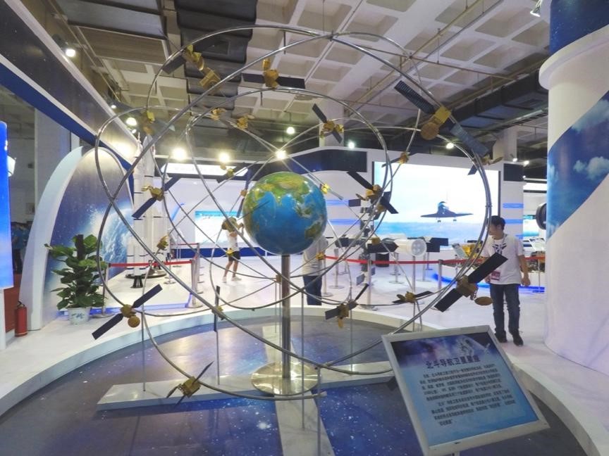


The model of Beidou satellite constellation is exhibited in China International Exhibition Center on June 8, 2017. (Photo by CFP)
A China-made regional jetliner equipped with the self-developed Beidou navigation system has successfully completed test flight during Oct. 10 to 14 in Dongying, east China's Shandong Province.
The test flight of the ARJ21-700 aircraft marked the official application of Chinese satellite navigation system on domestically-produced civil jetliners.
It was the first time for China to combine its own satellite navigation system, ground-based signal enhancement system and airborne navigation system on the self-developed civil aircraft.
The results show the performance of the navigation systems is on par with similar systems produced abroad, and even reaches internationally advanced level in transient and quick positioning index.
As a complete navigation system, Beidou is one of the four major navigation satellite systems in the world together with the United States' GPS, European Galileo, and Russian GLONASS systems, making China the third country in the world, after the US and Russia, to have its own navigation system.
Since its partially operation in 2012, Beidou has been improving its performance. It is able to provide high-quality navigation and positioning services for users as the US GPS system does.
Beidou is now serving over 400 Chinese cities, and more than 4 million operational vehicles in the country have installed compatible terminals.

 Award-winning photos show poverty reduction achievements in NE China's Jilin province
 People dance to greet advent of New Year in Ameiqituo Town, Guizhou
 Fire brigade in Shanghai holds group wedding
 Tourists enjoy ice sculptures in Datan Town, north China
 Sunset scenery of Dayan Pagoda in Xi'an
 Tourists have fun at scenic spot in Nanlong Town, NW China
 Harbin attracts tourists by making best use of ice in winter
 In pics: FIS Alpine Ski Women's World Cup Slalom
 Black-necked cranes rest at reservoir in Lhunzhub County, Lhasa
 China's FAST telescope will be available to foreign scientists in April