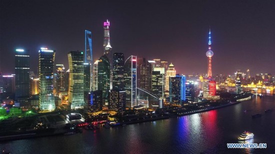
Photo taken on April 14, 2017 shows a night view of Lujiazui in east China's Shanghai. The Yangtze, the world's third-longest river, runs through nine Chinese provinces and two municipalities, covering 2.05 million square km. The Yangtze River Economic Belt, which accounts for more than 40 percent of both the national population and GDP, is a new growth engine for the country, reducing the development gap between east, central and western regions. (Xinhua/Ding Ting)
 |  |

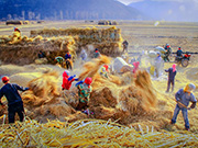 Award-winning photos show poverty reduction achievements in NE China's Jilin province
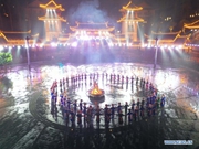 People dance to greet advent of New Year in Ameiqituo Town, Guizhou
 Fire brigade in Shanghai holds group wedding
 Tourists enjoy ice sculptures in Datan Town, north China
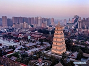 Sunset scenery of Dayan Pagoda in Xi'an
 Tourists have fun at scenic spot in Nanlong Town, NW China
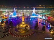 Harbin attracts tourists by making best use of ice in winter
 In pics: FIS Alpine Ski Women's World Cup Slalom
 Black-necked cranes rest at reservoir in Lhunzhub County, Lhasa
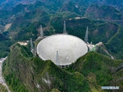 China's FAST telescope will be available to foreign scientists in April