According to data and maps recently released by the website, Thepaper.cn on July 13, China’s population distribution in the east and west is divided by the Heihe-Tengchong Line and contributing factors.

Population distribution
The Heihe-Tengchong Line proposed by Chinese population geographer Hu Huanyong in 1935 is an imaginary line that divides China into two roughly equal parts. It stretches from the city of Heihe in NE China to Tengchong County, SW China's Yunnan province, diagonally across the country.
The number of Chinese to the east of the line remained at more than 94 per cent for a long time, according to the first, fifth and sixth national census data. The corresponding map of China’s population density was drawn on the basis of data released by NASA’s Socioeconomic Data and Applications Center.

Annual precipitation
The line generally divides China’s semi-arid region in the west and semi-humid region in the east. This is evident on the map drawn based on the amount of precipitation in China released by NASA through its Giovanni platform.
In addition, Harvard University’s website, ChinaMap, shows that China’s railways are mainly located east of the Heihe-Tengchong Line.
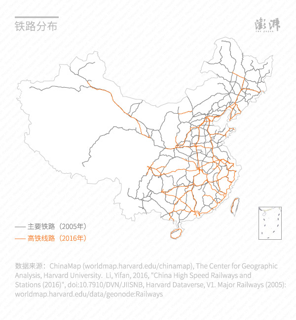
Railway distribution

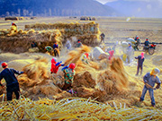 Award-winning photos show poverty reduction achievements in NE China's Jilin province
 People dance to greet advent of New Year in Ameiqituo Town, Guizhou
 Fire brigade in Shanghai holds group wedding
 Tourists enjoy ice sculptures in Datan Town, north China
 Sunset scenery of Dayan Pagoda in Xi'an
 Tourists have fun at scenic spot in Nanlong Town, NW China
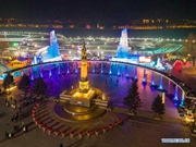 Harbin attracts tourists by making best use of ice in winter
 In pics: FIS Alpine Ski Women's World Cup Slalom
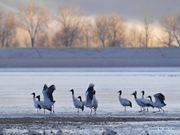 Black-necked cranes rest at reservoir in Lhunzhub County, Lhasa
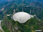 China's FAST telescope will be available to foreign scientists in April