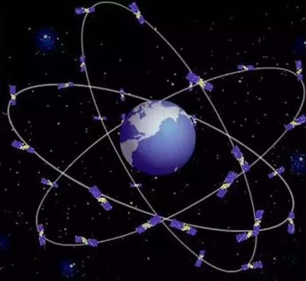


China launched the first two of the BeiDou-3 satellites into space on Sunday evening, indicating that its BeiDou Navigation Satellite System has begun to expand into a global network, Cyol.com reported on Nov 6.
Positioning accuracy of the BeiDou-3 satellites have an accuracy of 2.5 to five meters, which is comparable with that of GPS, said Xie Jun, chief designer of the satellite at China Aerospace Science and Technology Corporation (CASTC).
In addition, the system can provide users with high-precision surveying and mapping data. For example, it can measure several millimeters of building subsidence after an earthquake, Xie noted.
The BeiDou system not only provides navigation services but communication services, as some of its satellites are in a geostationary orbit, Xie said.
Moreover, their design life can reach the international level of 10 or more years, as high standards were set for selecting components and parts of the satellites to ensure continuity, reliability, and stability of services, according to Chi Jun, general director of the satellites at CASTC.
The BeiDou system will not only serve Chinese people, but also people around the world, noted Chi, adding that the system is compatible with other satellite navigation systems, providing an alternative for users.
Once China’s BeiDou, America’s GPS, Europe’s GALILEO, and Russia’s GLONASS are constructed, there will be more than 100 navigation satellites in use, according to Chi.
 Fire brigade in Shanghai holds group wedding
 Tourists enjoy ice sculptures in Datan Town, north China
 Sunset scenery of Dayan Pagoda in Xi'an
 Tourists have fun at scenic spot in Nanlong Town, NW China
 Harbin attracts tourists by making best use of ice in winter
 In pics: FIS Alpine Ski Women's World Cup Slalom
 Black-necked cranes rest at reservoir in Lhunzhub County, Lhasa
 China's FAST telescope will be available to foreign scientists in April
 "She power" plays indispensable role in poverty alleviation
 Top 10 world news events of People's Daily in 2020
 Top 10 China news events of People's Daily in 2020
 Top 10 media buzzwords of 2020
 Year-ender:10 major tourism stories of 2020
 No interference in Venezuelan issues
 Biz prepares for trade spat
 Broadcasting Continent
 Australia wins Chinese CEOs as US loses