 |
| (Photo/Thepaper.cn) |
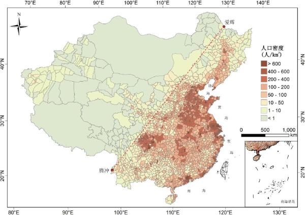
Eighty years after Chinese geographer Hu Huanyong drew a line to separate the sparsely populated northwest of China from the densely populated southeast, a remote-sensing report observed significant population density growth in the west.
The original line cut through central China, connecting Hehei in northeastern China's Heilongjiang province with Tengchong in southwestern China's Yunnan province. In 1935, when the line was marked, some 5.61 percent of the Chinese population lived in 56.29 percent of the territories in northwest China, while 94.29 percent lived east of the line.
Between 1935 and 2010, the average population density in the west grew from two persons per square meter to 16 persons; in the east, that figure rose from 107 to 303, according to the report on China's sustainable development, issued by the Chinese Academy of Sciences.
In the buffer zone spreading 300 to 500 kilometers from either side of the line, the
natural wetlands had shrunk by 11.8 percent in 2015 from their size in the 1980s, and forest cover was down by 3.8 percent. In the same period, land for construction or farming expanded by 32.4 percent. The construction rate was higher in northwestern China than in the southeast, the report noted.
 Fire brigade in Shanghai holds group wedding
 Tourists enjoy ice sculptures in Datan Town, north China
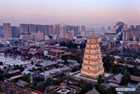 Sunset scenery of Dayan Pagoda in Xi'an
 Tourists have fun at scenic spot in Nanlong Town, NW China
 Harbin attracts tourists by making best use of ice in winter
 In pics: FIS Alpine Ski Women's World Cup Slalom
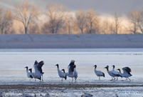 Black-necked cranes rest at reservoir in Lhunzhub County, Lhasa
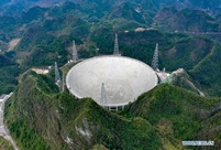 China's FAST telescope will be available to foreign scientists in April
 "She power" plays indispensable role in poverty alleviation
 Top 10 world news events of People's Daily in 2020
 Top 10 China news events of People's Daily in 2020
 Top 10 media buzzwords of 2020
 Year-ender:10 major tourism stories of 2020
 No interference in Venezuelan issues
 Biz prepares for trade spat
 Broadcasting Continent
 Australia wins Chinese CEOs as US loses