

(Photo/WeChat of RADI)
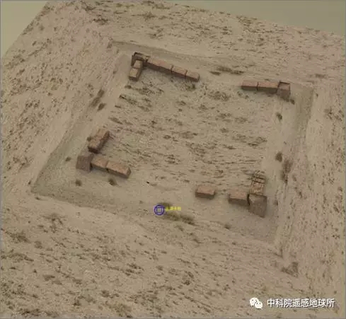
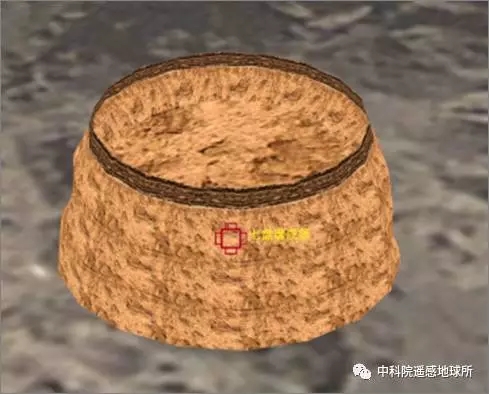
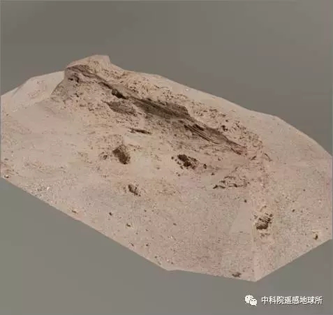
More than 1,000 years ago, several dotted, flake-shaped sections of the Great Wall stood in Xinjiang, protecting the border and the trade road. Recently, researchers from the China Institute of Remote Sensing and Digital Earth (RADI) under the Chinese Academy of Sciences (CAS) analyzed the distribution of ancient Great Wall sections in Xinjiang using remote sensing technology. They also used the technology to "restore" the wall's appearance.
(Photo/WeChat of RADI)
Remote sensing archaeology entails the use of electromagnetic waves and other sensors for long-distance observation and detection of surface and underground remains. Aerospace development, and especially the increased resolution of remote sensing satellites, has provided greater precision and a more efficient platform for remote sensing archaeology.
Nie Yueping, a researcher at RADI, explained that electromagnetic waves produced by vegetation, soil and geomorphology are different from those of historical sites. Such differences cannot be seen by the naked eye. However, special equipment can obtain electromagnetic wave data via remote sensing platforms such as space shuttles, satellites and unmanned aerial vehicles. Archaeological information then can be extracted from the data through computer processing.
(Photo/WeChat of RADI)
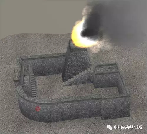
So far, more than 600 ancient remnants of the Great Wall have been found. Yu Lijun, an associate researcher at RADI, said that the team has outlined a Great Wall resource distribution line, and are working to "restore" images of the ancient Great Wall. Through virtual reality technology, people may soon be able to take an online tour of the remains in Xinjiang.
Compared with traditional archaeological methods, remote sensing has many advantages. With the popularization of satellite technology, remote sensing data can be obtained under all weather conditions. Moreover, the cost of using the technology is relatively low, and causes little damage to ancient remains.
(Photo/WeChat of RADI)
 Fire brigade in Shanghai holds group wedding
 Tourists enjoy ice sculptures in Datan Town, north China
 Sunset scenery of Dayan Pagoda in Xi'an
 Tourists have fun at scenic spot in Nanlong Town, NW China
 Harbin attracts tourists by making best use of ice in winter
 In pics: FIS Alpine Ski Women's World Cup Slalom
 Black-necked cranes rest at reservoir in Lhunzhub County, Lhasa
 China's FAST telescope will be available to foreign scientists in April
 "She power" plays indispensable role in poverty alleviation
 Top 10 world news events of People's Daily in 2020
 Top 10 China news events of People's Daily in 2020
 Top 10 media buzzwords of 2020
 Year-ender:10 major tourism stories of 2020
 No interference in Venezuelan issues
 Biz prepares for trade spat
 Broadcasting Continent
 Australia wins Chinese CEOs as US loses