Digitalization facilitates resources protection of Mount Wuyi
FUZHOU, May 4 (Xinhua) -- Pinning a knife to the back of his waist and carrying food and an emergency kit, forest ranger Hu Kehui and his teammate Liu Dongcai ride their motorcycles into the woods to start a day of patrol work after full preparation.
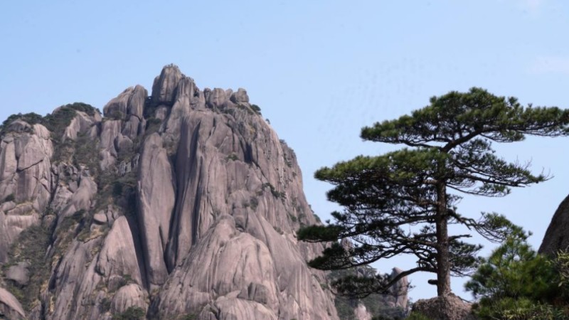
They patrol around Mount Wuyi, or Wuyishan, in east China's Fujian Province, one of the country's first five national parks.
For thousands of years, the unique geographical environment and natural conditions have nurtured the world-renowned biodiversity of Wuyishan National Park. The forest rangers' mission is to protect the mountain.
During the mission, Hu often opened a smartphone APP called "Inspection Assistant" to upload his patrolling reports.
The reports are received and collected by the intelligent management platform of Wuyishan National Park. The platform staff can check information such as the number, location and patrolling track of the forest rangers in real time on the computer terminal.
"If any forest damage, pine wood disease, or fire risk are discovered, I would take and upload photos or videos," said Hu. In case of emergency, he can also connect with the platform through the APP.
Hu and his teammates patrol the mountain at least 12 times per month, walking for four to eight kilometers each time.
A traditional forest patrol relies on manual operation and bears low efficiency, lacking scientific planning, according to Lv Zhaoping, an official with the Wuyishan National Park service.
After comprehensively evaluating the natural resources of the mountain, the park strengthened the construction of intelligent equipment and began to utilize drones and infrared cameras to manage and conserve the resources.
The scope of patrol is expanded afterwards, while the efficiency is also improved.
The data shows that the Wuyishan National Park conducted 12,100 times of patrolling in 2022, containing 32,800 kilometers in more than 3,600 routes, and achieved full coverage of park resources management and protection.
The drones have engaged in 289 patrols, accumulating a combined flight duration of 141.9 hours.
In recent years, the Wuyishan National Park has applied satellite remote sensing technology, an intelligent video monitoring system and drones to supervise resource protection, emergency management, and provide early warnings related to environmental capacity.
Benefiting from the stable improving digitalized management level, the park has witnessed an improved natural ecology. The monitoring data shows that the forest vegetation of Mount Wuyi has accelerated recovery, with the forest coverage rate higher than 96 percent.
Surface water and all the atmosphere indicators reached the first-level of the national standards. And in 2022, six new species were discovered in the Wuyishan National Park.
Photos
Related Stories
Copyright © 2023 People's Daily Online. All Rights Reserved.


