China has published its first land cover atlas, Land Cover Atlas of the People's Republic of China (1:1,000,000), according to the Institute of Remote Sensing and Digital Earth (RADI) under the Chinese Academy of Sciences (CAS) on Wednesday.
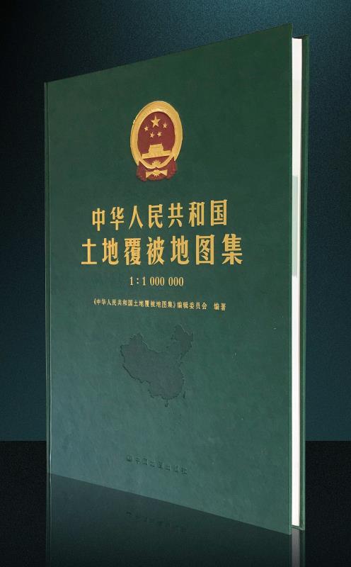
China has published its first land cover atlas, Land Cover Atlas of the People's Republic of China (1:1,000,000). [Photo/people.cn]
The atlas, in both Chinese and English, provides a comprehensive look at land-surface conditions across China, and records its land cover changes in 1990, 2000, and 2010, a period witnessing rapid economic growth, said the RADI.
Land cover refers to the observable natural and artificial objects on the surface of the Earth.
Land cover changes over time can be regarded as indicators of the natural environment, ecosystem, economic development, and people's livelihoods, said the RADI.
From data production in 2011 to publication in 2017, over 240 scientists and technicians from the CAS, government offices, and other research organizations worked on the atlas compilation.
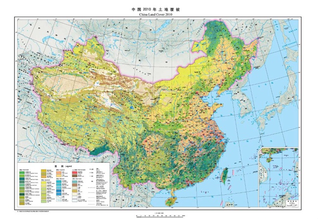
China land cover 2010. [Photo/people.cn]
 Fire brigade in Shanghai holds group wedding
 Tourists enjoy ice sculptures in Datan Town, north China
 Sunset scenery of Dayan Pagoda in Xi'an
 Tourists have fun at scenic spot in Nanlong Town, NW China
 Harbin attracts tourists by making best use of ice in winter
 In pics: FIS Alpine Ski Women's World Cup Slalom
 Black-necked cranes rest at reservoir in Lhunzhub County, Lhasa
 China's FAST telescope will be available to foreign scientists in April
 "She power" plays indispensable role in poverty alleviation
 Top 10 world news events of People's Daily in 2020
 Top 10 China news events of People's Daily in 2020
 Top 10 media buzzwords of 2020
 Year-ender:10 major tourism stories of 2020
 No interference in Venezuelan issues
 Biz prepares for trade spat
 Broadcasting Continent
 Australia wins Chinese CEOs as US loses