


E China's Anhui province uses satellite technology to facilitate loans for farmers during the spring farming season
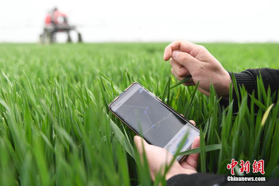 |
| Yu Kai, a major grain grower, traces his farmland on his mobile phone in Mengcheng county, east China's Anhui province, March 17. (Photo/Chinanews.com) |
All 16 major grain-producing counties in east China's Anhui province have begun using satellite remote sensing technology to grant loans to farmers during this spring farming season, Chinanews.com reported on March 17.
To apply for loans, farmers need to first trace their farmland on a map after installing an APP on their phones. Then the banks, after analyzing the satellite remote sensing images, will identify the total size of farmland and the types of crops being grown. Based on this information and risk control models, they will then estimate crop yields and grant credit to farmers accordingly.
Farmers in these counties can apply for interest-free spring farming loans for up to two months on their mobile phones. Yu Kai, a grain grower in the province's Mengcheng county, have already received loans after using the new technology.
 |
Photos


Copyright © 2021 People's Daily Online. All Rights Reserved.
