 |
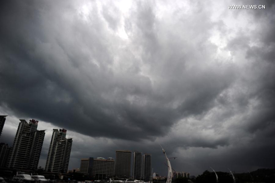
| Photo taken on June 21, 2015 shows dark clouds above the city of Sanya, south China's Hainan Province. Sanya witnessed rainfall on Sunday as a tropical storm has strengthened into Typhoon Kujira in the South China Sea. Kujira is likely to brush past the island province of Hainan and land between southern Guangdong and Guangxi on Monday night, bringing downpours and strong winds. (Xinhua/Sha Xiaofeng) |
HAIKOU, June 21 -- A tropical storm strengthened into a typhoon in the South China Sea on Sunday, which is moving northward and likely to become the first typhoon to hit China this year.
According to the meteorological station in southernmost China's Hainan Province, Typhoon Kujira was formed at 11 a.m., when its eye packing wind speeds of up to 64.8 km per hour was located at 15.9 degrees latitude and 111.5 degrees longitude, or 140 km south of the Xisha Islands.
Kujira is likely to brush past the island province of Hainan and land between southern Guangdong and Guangxi on Monday night, bringing downpours and strong winds.
The weather department has warned vessels against passing through the area.
The rainfall will be welcome in easing the most severe drought in Hainan since 1959. It has affected 30 percent of the tropical island.
Hot and dry weather has dominated the region since May, as the weather department has hoisted an orange drought alert, the second-most severe alert. Cities including the beach resort Sanya have to open new deep wells for drinking water.
 |
Day|Week

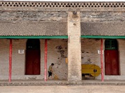 In pics: Fengtu Charitable Granary in China's Dali County
 Pink salt lake attracts visitors in China's Yuncheng
 Eye-catching graduation photos in Shandong
 Picturesque night view of Fenghuang ancient town in China's Hunan
 A Porsche gilded in gold
 Test your figure by touching your belly button
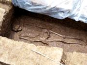 Neolithic human skeleton found in Sanxingdui Ruins
 Female PLA soldiers in training

