BEIJING, May 22 -- China has solved a major scientific conundrum by updating the geographic information of the world's third largest country in terms of land area.
The National Administration of Surveying, Mapping and Geoinformation announced on Friday the completion of the 2014 version of China's geo-database, meaning all data is accurate up to last year.
The updated database, encompassing 24,000 pictures, shows that China had about 6,000 km railways, 7,000 km highways, 34,000 km national or provincial expressways and 138,000 km county roads added to the existing transportation network in 2014.
About 9,000 square km of urban blocks were created last year with 9,000 km new power lines. More than 830,000 geographical names were changed and 350,000 place names were created.
The database will be used for irrigation projects, transportation, land, agriculture, forestry, environment, rural and urban planning and national defense, said an official with the administration.
China boasts a vast and complicated geography which changes rapidly, creating barriers for updating data frequently. Other spacious countries, such as Russia, Canada, Brazil and Australia, have not completed their geo-database construction.
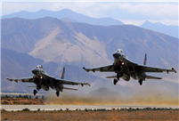 J-11 fighters in air exercise
 Beauties dancing on the rings
 Attendants-to-be join Mr. & Miss Campus Contest
 Beijing's toughest anti-smoking law takes effect
 Family lives in cave for about 50 years in SW China
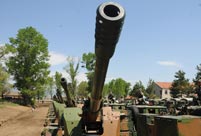 PLA soldiers operating vehicle-mounted guns in drill
 Blind carpenter in E China's Jiangxi
 China hosts overseas disaster relief exercise for the first time
 20 pairs of twins who will become flight attendants in Sichuan
 Obama is sowing discontent in S.China Sea
 Rescuers work through night to reach cruise ship survivors
 Driving through limbo
 Facing down MERS
Day|Week